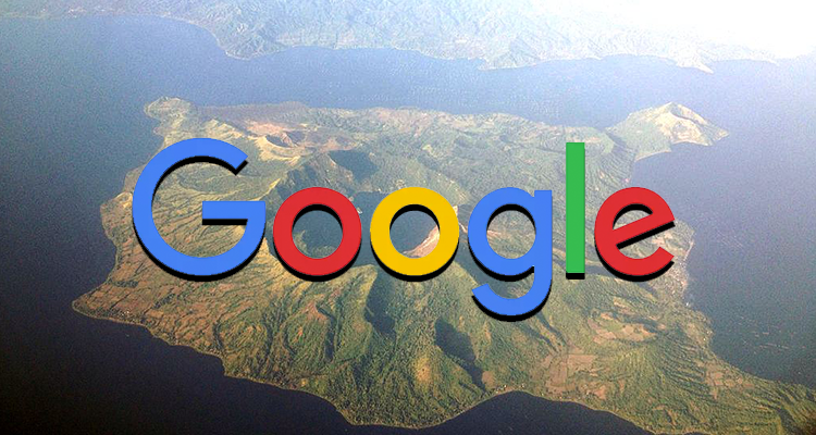
Google has announced that it’s helping out victims and those who are willing to help those hit by the Taal Volcano eruption by providing a detailed list of evacuation centers related to the eruption.

The map was consolidated by volunteer mappers and information sourced from the Batangas Information Office. You can check out the consolidated map here if you’re trying to find shelter or rescue, or if you’re someone trying to help.
You can also try and search the it through Google with the search string: Evacuation centers for the Taal eruption
The map can also be accessed on Google’s social media page.
To help report critical information or to enlist more evacuation centers, please send an email to phmappers@gmail.com.


